Tuesday, November 18, 2014

A Bit Of This And That

When I post here, I try to have a strong enough central theme to tie the photos together.  Well, I am in southern New Mexico, where I am beginning my 6th winter.  Most of the strong themes have been covered, but I do have a few photos taken recently that are worth sharing.

A few days ago a strong weather front came through as I was sipping my morning coffee.  Looking out the window, the sky was charcoal and the nearby trees were glowing in the morning sun.

As the patches of light shifted, some trees were in deep shadow while some were highlighted providing dramatic contrast.

The next day Jim and I took a hike, doing more exploring of the remote areas near Caballo Lake.  This time we headed just to the left of Brushy Mountain, enjoying the shifting angles and shadows on a pillar at the northwest corner of the peak.

To the north, Caballo Peak's cliffs were pocked with mines.  In the upper right corner of this photo is a mine shaft that would comfortably accommodate an 18 wheeler.  The track below it is where the mine tailings were pushed out to cascade down the slope, coming to rest near where we walked.


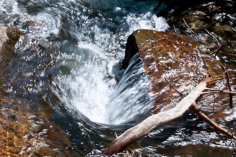
We pushed back about a mile and a half, climbing 600' on very rough terrain.  In that area the streamed in which we were hiking (Trails?  We doan' need no stinking trails!) had eroded some of the layered rock.  We looked, hoping to see some fossils, but had no luck.

The road to where we started hiking was a challenge.  I like my Forester more every time we do one of these explorations!

Returning home, we passed a flock of Sand Hill Cranes.

A large portion of the flock took flight when we stopped the car.

A nice end to a challenging day...

Sunday, October 5, 2014

Serendipity

serendipity |ˌserənˈdipitē| noun
the occurrence and development of events by chance in a happy or beneficial way

I am a little over half way from Oregon to New Mexico, and I planned to spend a day or two in the Canyonlands area. Everything there was full. Tired, I continued south, checking my GPS for public campgrounds. I found one about 10 miles south of Moab, named Ken’s Lake, so of course I had to try it.

I found a spot and settled in, then looked around. In the distance I saw a small waterfall cascading down the nearby cliffs.

I wanted to hike to it but did not have the energy to go for it that afternoon. Today, however, I went for it.

Up close and personal…

There was a trail nearby further up. A one mile hike brought me past wind-carved formations

...to a huge vertical cliff

Below, in the shade of the cliff, hidden by undergrowth and found only because of the sound it made, was another small waterfall.

Serendipity...


Saturday, September 13, 2014

Fortuitous Timing

(Forewarning - These shots were much better in the original.  Apparently Blogspot decided they should alter the photography to a machine's idea of proper exposure.)

I was hanging out in the Tillamook State Forest.  I had done some uninteresting hikes, then I took a ride along the highway to the east.  Near the ridge, I saw a sign at the start of a gravel road that said "University Falls".  I turned in.

Four miles later I arrived at the trailhead and started hiking.  It was in the 90's and the grades were steep in places.  The forest was pretty dry, and I was concerned that I was going to get to a dry wall that is a waterfall in wetter times.

The major trail became a small path and a few minutes later the temperature dropped 10 or 15 degrees.  In that blessed, welcome coolness, I turned a corner and beheld...

The sun was at an angle that placed its rays parallel to the face of the wall.  As it moved, gaps in the tree cover played a changing symphony of light over the strings of mist and water.

A few minutes later the light no longer fell directly on the water, so I found a different focus and composition.


Nice day, even if I was soaked with sweat by the time I got back to the car.

Sunday, August 24, 2014

A Smith Rock Hike

My last post was about climbing on these vertical walls.  Now, I take you on a hike up, down and along them.

My hike began by descending a trail named the Chute, named that, I assume, for its short, steep grade.  I crossed the Crooked River on a footbridge, then began to climb the Misery Ridge Trail.  On the way, I had some dramatic views, both to the left

and to the right.

Once on the ridge, the trail traveled west, then began its descent near the tower topped by Monkey Face.

Part way down the Mesa Verde Trail, the spires offered this photo op.

On reaching the valley, the River Trail paralleled the Crooked River.

Finally, I crossed the bridge and ascended the Chute, where I was offered this last look into the valley I had walked.

Then, home, and some Advil…

The Vertical World of Smith Rock

I last visited Smith Rock in 2010, before I could get far on the trails.  It was time to return.

Smith Rock tops out at about 1000 feet above the Crooked River below.  The walls of Smith Rock provide a climbing opportunity of international renown.  My hike gave me a sampling of others taking the vertical path up.

In the first shot, two climbers are present.  The guy on the left is top roped, allowing him to climb with great protection from a harmful fall.  The girl on the right is lead climbing.  Her protection comes from her skills, and from the last point where she clipped her rope to the rock wall below her.

It was a pleasure to watch the smoothness with which she moved on the rock.

Part way up the Misery Ridge Trail, I had a nice view of another top roped climber.

Around the point to the left, an impressive wall drew top roped climbers.

On the far side of the rock is a 600' pillar called Monkey Head for the shape of the top of the pillar.

At the base of this formation, a climber is beginning this challenging ascent.

From the east side, the pillar presides over the Crooked River valley below.  Can you spot the climbers on the pillar below the head?

Honest - they are there, dangling below the chin.
See?

A spectator gets a closer view than I had.  The climbers have now moved behind the chin.

This may help - both with seeing the Monkey Head appearance and with seeing the climbers.  No longer on a rope beneath the formation, they are now in the monkey's mouth.


Friday, August 15, 2014

Mountains Making Weather

As I headed off for a hike, the sky was almost cloudless.  Except for one place, that is.  Clouds were forming over the Teton Range.


I did a short hike.  Leaving the trailhead afterward, the gathered clouds were becoming more angry-looking.

The closer I got to the campground, the more severe the skies over the peaks looked.

This was the last view before Blacktail Butte blocked sight of the oncoming storm (which is STILL hanging there and threatening).

Wednesday, July 23, 2014

Teton Bison

Earlier in July, the bison herd was several miles north of the Gros Ventre campground.  Now, they are back.


Most days, returning to the campground, I have seen them along the road, along with birds catching a ride.

Most of the calves are grown enough that their coats are getting darker.  A few days ago, after passing the bulk of the herd, I saw one bison well separated from the group.  It moved across the road then up the hill, followed by a calf who must have been a late season birth.  It was much smaller, much paler in color, and stuck much closer to mama than the other calves.

Bisons were beginning to test each other in advance of the true dominance battles that would preface mating.

Oh - hello there…


of rock and ice

The Tetons were formed recently (geologically) by uplift.  The jagged peaks were divided by steep-walled canyons.  Over time, ice formed in cracks on the walls and broke loose rocks, which made their way to the bottom of the canyons.  There, water flow eroded and continues to erode these rocks, slowly moving them downhill toward the plains below.

Glacial ice took a more aggressive role.  When the glaciers were substantial enough, they carved a valley characterized by a U shape, rather than the V shape formed by water flow.  Avalanche Canyon is perhaps the most iconic of these U-shaped carvings.

As the glaciers moved east out of the canyons, they gathered the rocks dropped from the peaks as well as those scraped to form the U shape.  These rocks were carried down and east with the ice.  When the ice retreated the rocks were left behind in a moraine, and a lake formed between the moraine and the peaks.  Taggert Lake is one such, nestled below the canyon.

To the north of the Lake, part of the moraine that shapes the Lake can be seen.

From the road, the lakes so formed are not visible.  Trails lead up and over the moraine, providing access to the Lake.  Along the way, alpine vegetation including birch, aspen and a variety of wildflowers decorate the trailside.


Taggert Creek splits into two flows.  The larger is crossed low on the moraine rise.  The middle part of the trail follows the lesser, northerly flow for a while, revealing several small waterfalls.


All in all, it is one of my favorite hikes.