Sunday, August 24, 2014

A Smith Rock Hike

My last post was about climbing on these vertical walls.  Now, I take you on a hike up, down and along them.

My hike began by descending a trail named the Chute, named that, I assume, for its short, steep grade.  I crossed the Crooked River on a footbridge, then began to climb the Misery Ridge Trail.  On the way, I had some dramatic views, both to the left

and to the right.

Once on the ridge, the trail traveled west, then began its descent near the tower topped by Monkey Face.

Part way down the Mesa Verde Trail, the spires offered this photo op.

On reaching the valley, the River Trail paralleled the Crooked River.

Finally, I crossed the bridge and ascended the Chute, where I was offered this last look into the valley I had walked.

Then, home, and some Advil…

The Vertical World of Smith Rock

I last visited Smith Rock in 2010, before I could get far on the trails.  It was time to return.

Smith Rock tops out at about 1000 feet above the Crooked River below.  The walls of Smith Rock provide a climbing opportunity of international renown.  My hike gave me a sampling of others taking the vertical path up.

In the first shot, two climbers are present.  The guy on the left is top roped, allowing him to climb with great protection from a harmful fall.  The girl on the right is lead climbing.  Her protection comes from her skills, and from the last point where she clipped her rope to the rock wall below her.

It was a pleasure to watch the smoothness with which she moved on the rock.

Part way up the Misery Ridge Trail, I had a nice view of another top roped climber.

Around the point to the left, an impressive wall drew top roped climbers.

On the far side of the rock is a 600' pillar called Monkey Head for the shape of the top of the pillar.

At the base of this formation, a climber is beginning this challenging ascent.

From the east side, the pillar presides over the Crooked River valley below.  Can you spot the climbers on the pillar below the head?

Honest - they are there, dangling below the chin.
See?

A spectator gets a closer view than I had.  The climbers have now moved behind the chin.

This may help - both with seeing the Monkey Head appearance and with seeing the climbers.  No longer on a rope beneath the formation, they are now in the monkey's mouth.


Friday, August 15, 2014

Mountains Making Weather

As I headed off for a hike, the sky was almost cloudless.  Except for one place, that is.  Clouds were forming over the Teton Range.


I did a short hike.  Leaving the trailhead afterward, the gathered clouds were becoming more angry-looking.

The closer I got to the campground, the more severe the skies over the peaks looked.

This was the last view before Blacktail Butte blocked sight of the oncoming storm (which is STILL hanging there and threatening).

Wednesday, July 23, 2014

Teton Bison

Earlier in July, the bison herd was several miles north of the Gros Ventre campground.  Now, they are back.


Most days, returning to the campground, I have seen them along the road, along with birds catching a ride.

Most of the calves are grown enough that their coats are getting darker.  A few days ago, after passing the bulk of the herd, I saw one bison well separated from the group.  It moved across the road then up the hill, followed by a calf who must have been a late season birth.  It was much smaller, much paler in color, and stuck much closer to mama than the other calves.

Bisons were beginning to test each other in advance of the true dominance battles that would preface mating.

Oh - hello there…


of rock and ice

The Tetons were formed recently (geologically) by uplift.  The jagged peaks were divided by steep-walled canyons.  Over time, ice formed in cracks on the walls and broke loose rocks, which made their way to the bottom of the canyons.  There, water flow eroded and continues to erode these rocks, slowly moving them downhill toward the plains below.

Glacial ice took a more aggressive role.  When the glaciers were substantial enough, they carved a valley characterized by a U shape, rather than the V shape formed by water flow.  Avalanche Canyon is perhaps the most iconic of these U-shaped carvings.

As the glaciers moved east out of the canyons, they gathered the rocks dropped from the peaks as well as those scraped to form the U shape.  These rocks were carried down and east with the ice.  When the ice retreated the rocks were left behind in a moraine, and a lake formed between the moraine and the peaks.  Taggert Lake is one such, nestled below the canyon.

To the north of the Lake, part of the moraine that shapes the Lake can be seen.

From the road, the lakes so formed are not visible.  Trails lead up and over the moraine, providing access to the Lake.  Along the way, alpine vegetation including birch, aspen and a variety of wildflowers decorate the trailside.


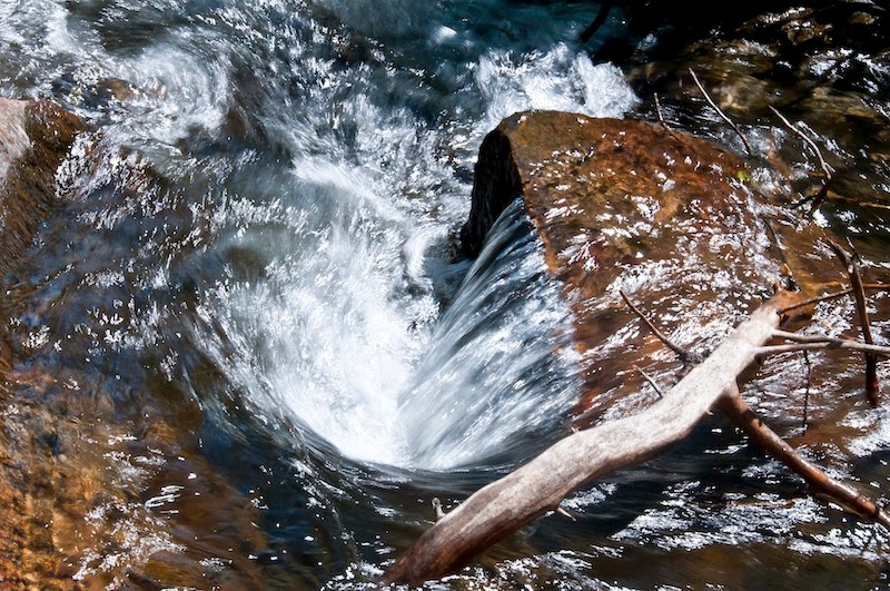
Taggert Creek splits into two flows.  The larger is crossed low on the moraine rise.  The middle part of the trail follows the lesser, northerly flow for a while, revealing several small waterfalls.


All in all, it is one of my favorite hikes.


Wednesday, July 9, 2014

Entering Death Canyon

Before you ask, I don't know the origin of the name, except perhaps to hazard a guess.  In the Tetons, there are several east-west canyons set between peaks.  Some that I have wandered into include Cascade Canyon and, more recently, Death Canyon.

From the east, Death Canyon is notable for its narrowness and its precipitous walls. 
Perhaps in my best days, with Herb to back me up, and with the best climbing equipment, I MIGHT be able to climb those walls to escape that canyon.  More likely, it would be a trap for us, and more likely so for early explorers.  That is my totally unresearched guess as to the name.

The trailhead begins in a forested area, and climbs to an overlook, before descending toward the entrance to the Canyon.  Along that climb, green forest is balanced by an abundance of flowers - stands of Lupins and Paintbrush grow along the trail at these high elevations.


The overlook gives a spot of shade, usually with a breeze to bleed off some of the accumulated body heat.  I was ready for it, both inbound and outbound.  Below the overlook is Phelps Lake.
The trail drops down from the overlook, with continuing views of the lake.

Near the low point, the trail splits.  One part turns left toward the lake.  The other, my route, turns right toward Death Canyon.
The approach provides a partial view of the south wall.


Getting closer, the north wall, with a thready but high waterfall begins to appear, and that narrow canyon base begins to appear.
Entering the Canyon, the views become very vertical, with rock shouldering in close to the trail, and extending more than 1000' above, with the constant sound of a rushing stream dropping along the floor of the Canyon.

Not the place to be if you are claustrophobic...

I made it 3.2 miles in, the furthest I have managed in several attempts over the past few years.  Maybe, later this summer, I might get a bit further...?


Tuesday, July 1, 2014

Sawtooths to the Tetons

On the way to the Tetons, I traveled a bit out of the way to pass through the Sawtooth Mountains in Idaho.  I am definitely going back there.  Leaving there, the route took me through a long valley with mountain peaks to each side.  Then, in front of me, the road seemed to head straight into a wall of rock.

Eventually, the way became clear.  They placed the road in a really narrow defile between vertical rock walls.

The plan was to get to the Tetons, and I did.

After a short warm-up hike yesterday, today I did an exploration, departing from the Taggert Lake Trail to follow the shore of Taggert Creek.  It was rough going in places, and definitely bear country, not a place to be all alone, but I was making plenty of noise and I had my bear spray.
For me, the risks are justified by the rewards.