Glacial ice took a more aggressive role. When the glaciers were substantial enough, they carved a valley characterized by a U shape, rather than the V shape formed by water flow. Avalanche Canyon is perhaps the most iconic of these U-shaped carvings.

As the glaciers moved east out of the canyons, they gathered the rocks dropped from the peaks as well as those scraped to form the U shape. These rocks were carried down and east with the ice. When the ice retreated the rocks were left behind in a moraine, and a lake formed between the moraine and the peaks. Taggert Lake is one such, nestled below the canyon.

To the north of the Lake, part of the moraine that shapes the Lake can be seen.

From the road, the lakes so formed are not visible. Trails lead up and over the moraine, providing access to the Lake. Along the way, alpine vegetation including birch, aspen and a variety of wildflowers decorate the trailside.


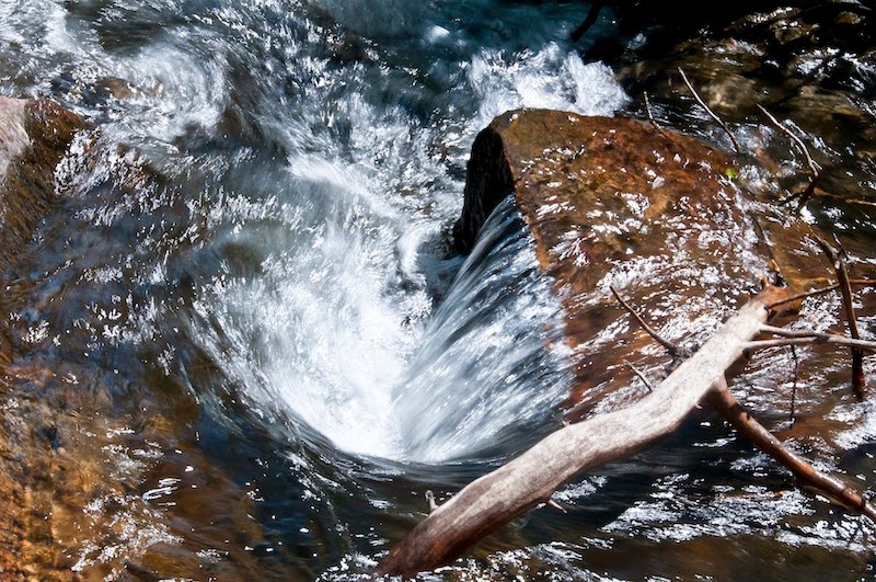
Taggert Creek splits into two flows. The larger is crossed low on the moraine rise. The middle part of the trail follows the lesser, northerly flow for a while, revealing several small waterfalls.

All in all, it is one of my favorite hikes.


1 comment:
Taggert Lake is sure a pretty area. Might have to find it on my next trip.
Post a Comment